A major climate shift is underway that could reshape the 2026 Atlantic hurricane season and bring prolonged dry conditions to parts of the Caribbean — with leading meteorologists now confirming that El Niño conditions have arrived in the tropical Pacific Ocean, and an official declaration from the United States government potentially days away.
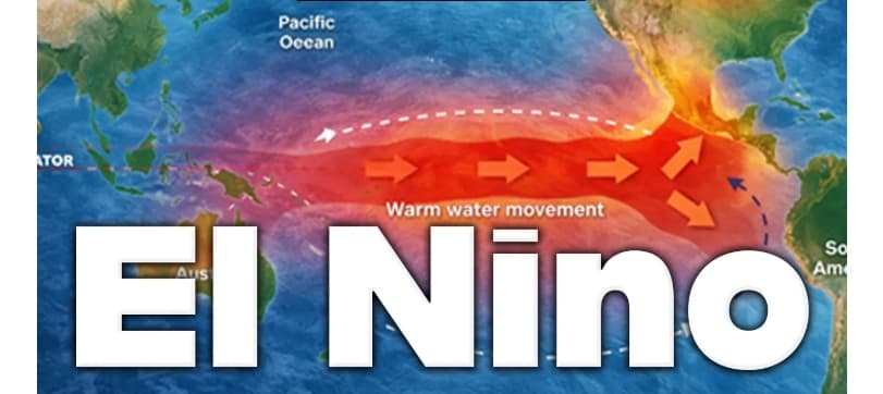
El Niño Is Here
Based on the latest oceanic and atmospheric data, AccuWeather expert meteorologists believe El Niño conditions are now established in the tropical Pacific. AccuWeather expert meteorologist Paul Pastelok confirmed that sea surface temperatures are quickly rising in the equatorial Pacific, with the latest weekly readings averaging just over 0.5 degrees Celsius above the long-term historic average — the primary criteria for an El Niño determination. "Most El Niños and La Niñas begin in the fall. This El Niño will most likely begin soon and strengthen quickly," Pastelok said.
AccuWeather Chief Meteorologist Jonathan Porter said the agency expects NOAA's Climate Prediction Center may declare an official El Niño imminently, perhaps during its scheduled update on Thursday, June 11.
What It Means for the 2026 Hurricane Season
For Antigua and Barbuda and the wider Caribbean, the most immediately relevant consequence of El Niño's arrival concerns the Atlantic hurricane season, which officially began on June 1.
El Niño generates wind shear more frequently across the Atlantic Basin, which inhibits tropical systems from organising and intensifying. AccuWeather's 2026 Atlantic hurricane season forecast projects 11 to 16 named storms. AccuWeather Hurricane Expert Alex DaSilva said the El Niño's early-season arrival is now pushing the forecast toward the lower end of that range. "This El Niño will likely reduce Atlantic tropical activity even more. With the El Niño's arrival early in the hurricane season, we are now leaning closer to 11 named storms rather than 16," DaSilva said.
However, meteorologists were quick to caution against complacency. Though the number of named storms could be lower than average, that does not eliminate the threat of a high-impact storm. During El Niño years, homegrown hurricanes that develop close to coastlines pose a heightened risk because they leave little time for preparation. It takes only one storm to cause catastrophic damage.
Could This Become a "Super El Niño"?